
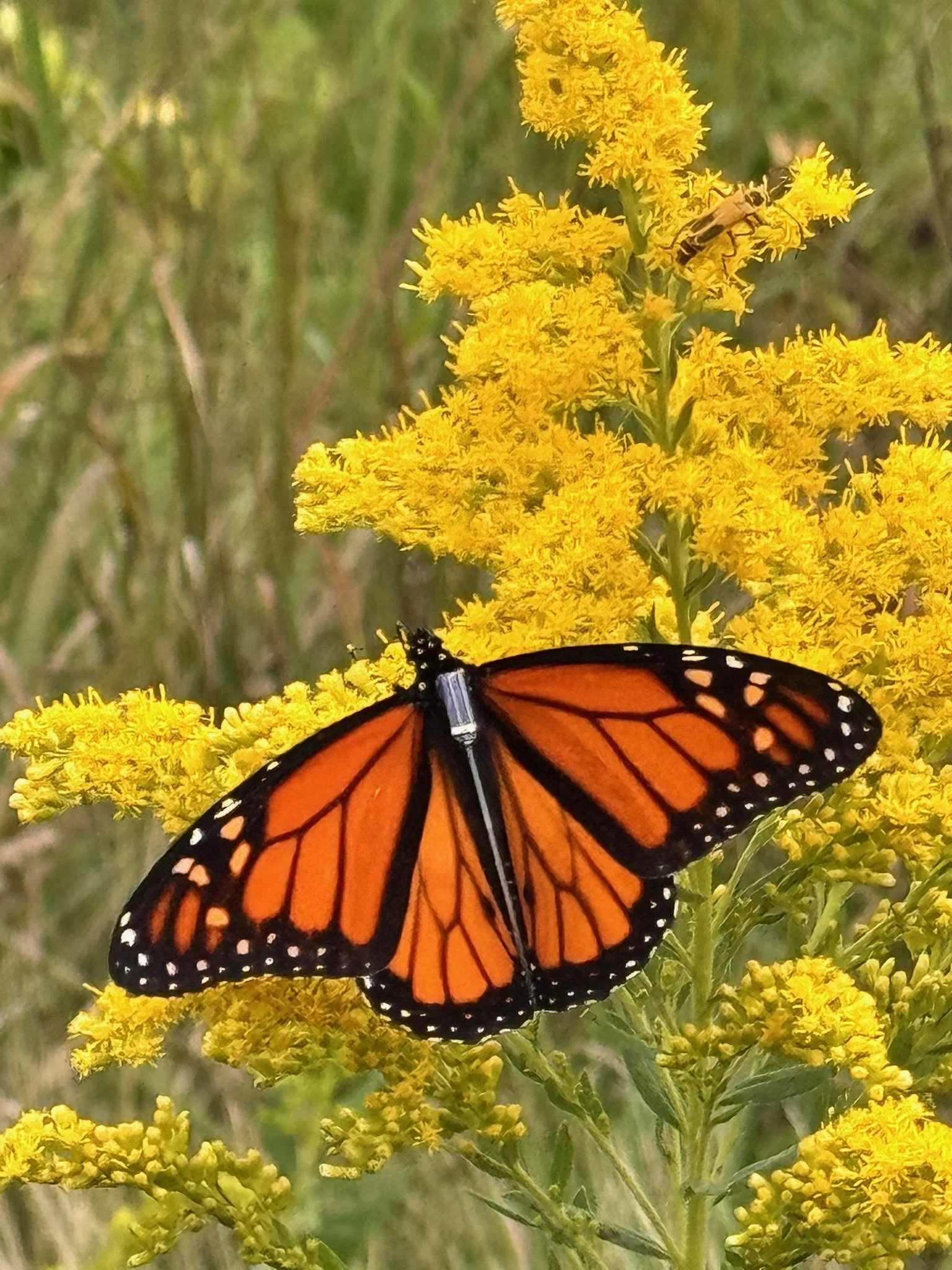
A monarch butterfly, tagged with a GPS unit, on goldenrod at Goose Pond (photo: Samantha Humes).
Monarch migration is undoubtedly one of the most amazing animal migrations on earth. Many populations of monarchs in the United States and Canada take flight in fall to travel to the oyamel fir forests of Mexico, where they stay over winter before beginning their journeys back in the spring. For decades, scientists and researchers studying this have wondered about the exact paths these butterflies take—but tracking the exact path of an individual butterfly was impossible. But thanks to incredible new technology and collaborations between many scientists, conservation organizations, volunteers, and donors, we hope to start finding out!
This fall, Southern Wisconsin Bird Alliance is excited to join Project Monarch, an effort that spans North America. Monarch butterflies are safely captured and carefully equipped with tiny, nearly weightless GPS units that allow scientists to better understand more about the paths monarchs take so we can better support them during their migration.
And that’s not all. Anyone with a smartphone can download the free Project Monarch app to track individual butterflies! By simply using the app on your phone, you’re playing a critical role in this project—the GPS units of any butterflies nearby can send real-time location updates through the app, adding data points to the study.
How you can help track migrating monarchs
The more people using the app during monarch migration, the better! No matter where you live or travel to this season, download the Project Monarch app (available for Apple and Android phones).
Here’s how to get started:
Create a free username and password to sign in. The next screen you’ll see is a map with all the monarchs that have been tagged so far.
Tap on the magnifying glass that says “Scan” and enable Bluetooth permissions so the GPS units can be found by your phone.
Tap “Start scan”. If there are monarchs nearby, you’ll see the tag name or number!
Then, press the blue “Upload” button to send the information to the project. (Note: at the top of the screen, you should always have 2026 highlighted.)
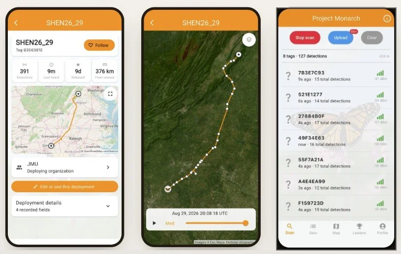
Screen previews from the Project Monarch App (courtesy of Project Monarch).
If you have an iPhone, nearby monarchs with any GPS tags will automatically ping against your phone without you running the app. If you have an Android device, you’ll need to have the app open and scanning for monarchs. (Know that using the app will take some extra battery power, so run the app as often as you can while remembering to keep an eye on your phone’s battery life!)
Tagged monarchs are already on the move!
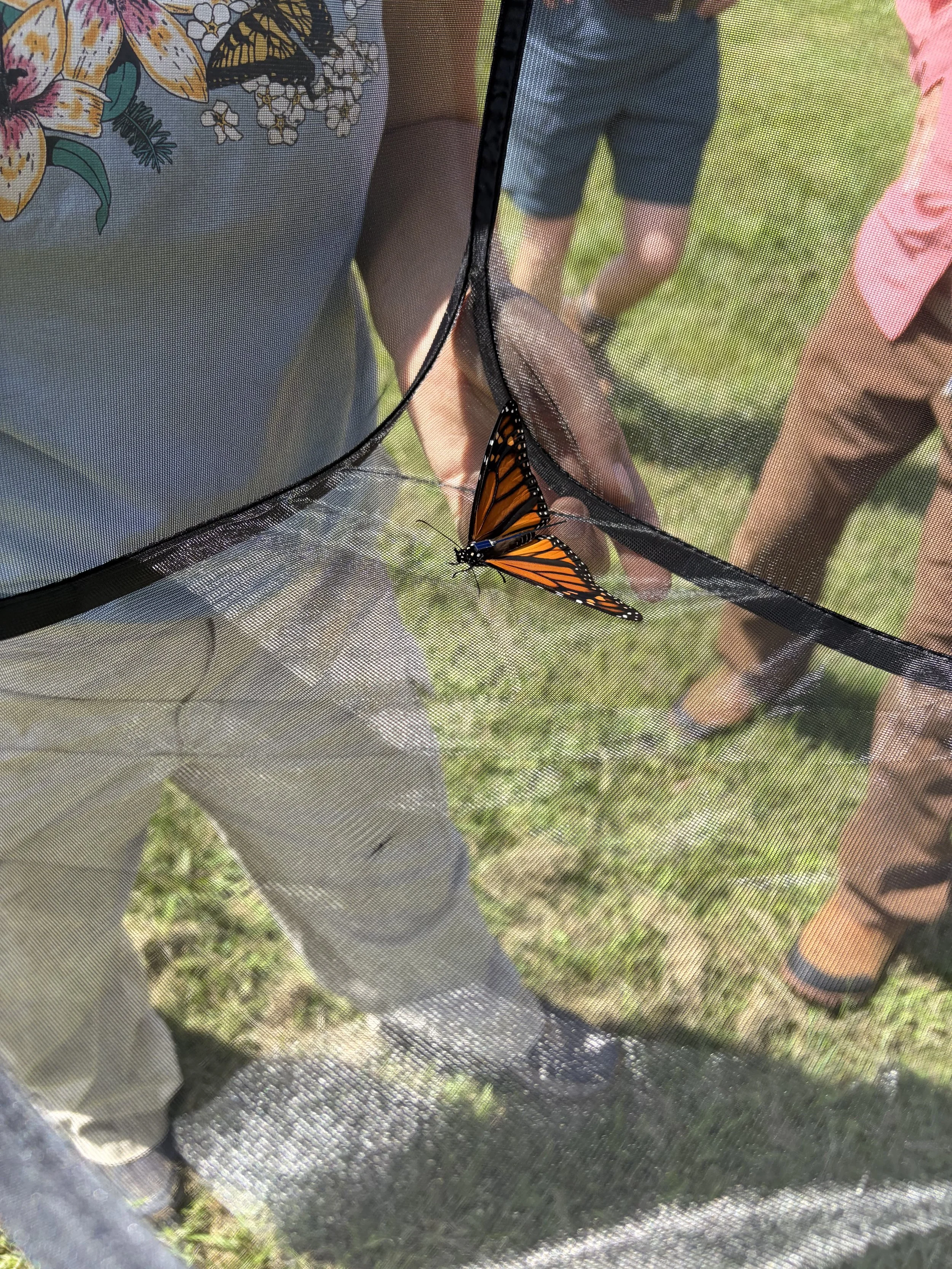
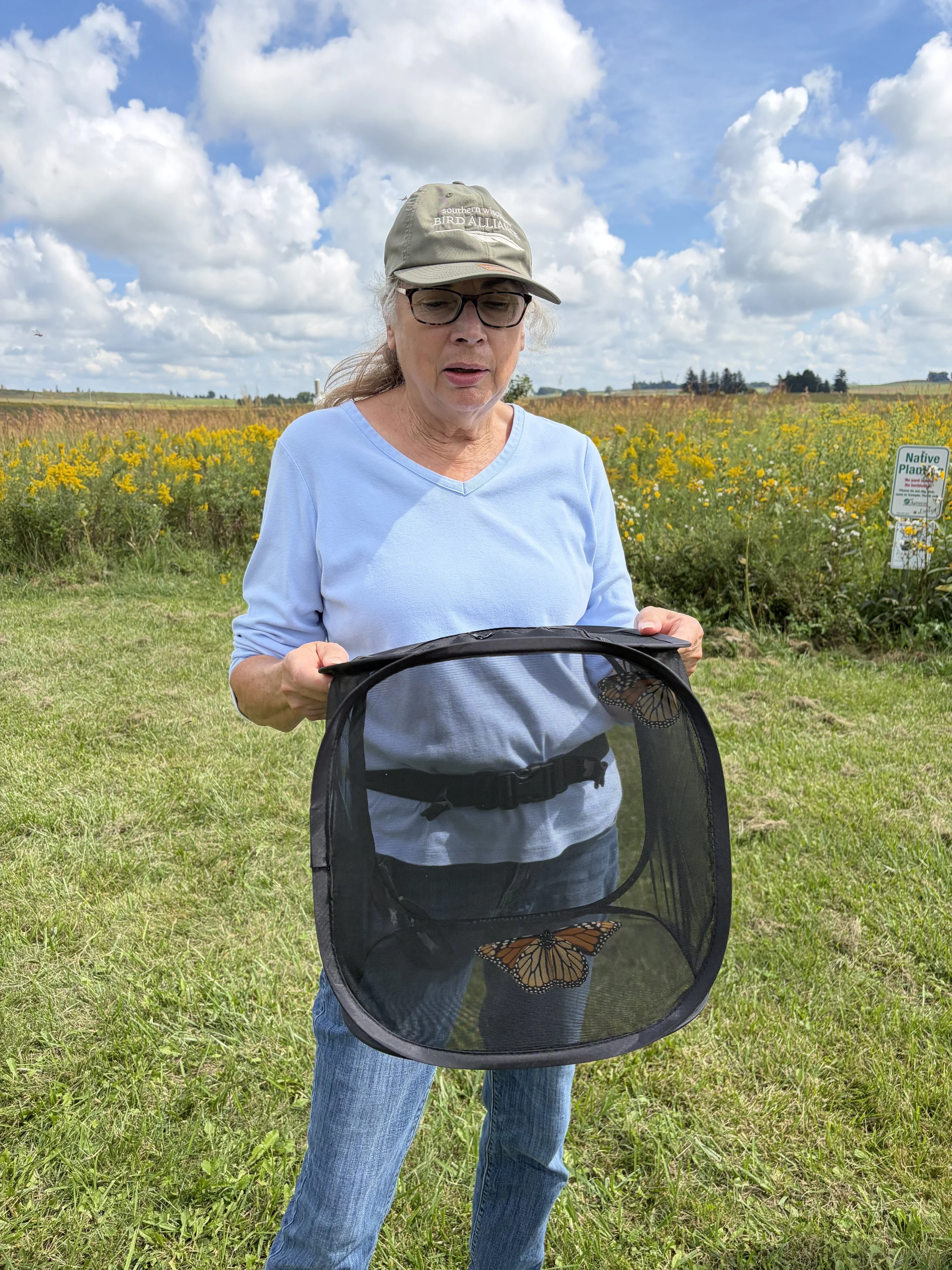
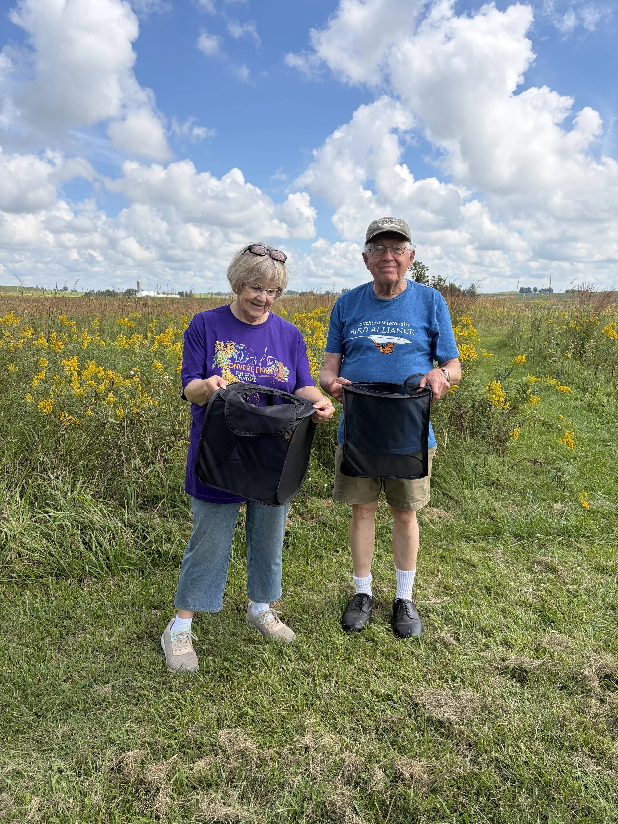
On September 3 at Goose Pond Sanctuary, SoWBA staff and volunteers underwent a training hosted by staff from the Xerces Society for Invertebrate Conservation. This in-depth training focused on the proper techniques and processes for tagging monarchs with BlūMorpho GPS units. That day, our group deployed our first three butterflies with these tags, and by the morning of September 5, one of them had already traveled more than 120 miles west of Goose Pond! The weekend following, our team worked hard to deploy an additional 27 GPS units.
We are so grateful for the hard work of our team of staff and volunteers, as well as the many committed members of our organization who provided the crucial support we needed to acquire and deploy all 30 of these GPS tags. Your support makes a big difference for migrating monarchs in southern Wisconsin and beyond!
Written by Brenna Marsicek, director of outreach, & Kaitlin Svabek, director of communications
